43 matches for ""
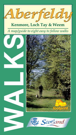
Aberfeldy
Kenmore, Loch Tay & Weem
Price: £4.95
A map/guide to eight easy to follow walks
- Around Aberfeldy
- The Birks - Aberfeldy
- St David's Well - Weem
- Camserney & Loch Farleyer
- Kenmore & the River Tay
- Drummond Hill, Kenmore
- Waterfall Walk, nr Kenmore
- Kenmore to Acharn Falls
More info...
ISBN: 978-1-871149-67-8
Edition:2003
Scale:Various
Folded:119 x 210mm
Open:594 x 420mm
Weight:62gms
Hide info...
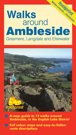
Ambleside
Grasmere, Langdale & Elterwater
Price: £4.95
A map-guide to 14 walks around Ambleside, in the English Lake District
- Grasmere, Chapel Stile & Elterwater
- Grasmere & Helm Crag
- Grasmere & Easedale Tarn
- Grasmere & Alcock Tarn
- Rydal & Grasmere from Whitemoss
- Great Langdale & Baysbrown Wood
- Skelwith Bridge to Elterwater & Little Langdale
- The Langdale Pikes
- Ambleside, Troutbeck & Wansfell Pike
- Ambleside & Lily Tarn
- Ambleside & Jenkin Crag
- Ambleside & Loughrigg Tarn
- Red Screes
- Fairfield Horsehoe
More info...
ISBN: 978-1-871149-58-6
Edition:2002
Scale:Various
Folded:119 x 210mm
Open:594 x 420mm
Weight:52gms
Hide info...
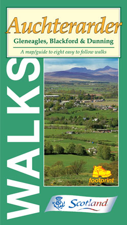
Auchterarder
Gleneagles, Blackford & Dunning
Price: £4.95
A map/guide to eight easy to follow walks
- The Oak Walk
- The Provost's Walk
- Johnny Matthew's Walk
- The Cadger's Walk
- Blackford to Auchterarder
- Craig Rossie
- Glen Sherup Forest
- Pitcairn Glen, Dunning
More info...
ISBN: 978-1-871149-75-3
Edition:2007
Scale:Various
Folded:119 x 210mm
Open:594 x 420mm
Weight:50gms
Hide info...
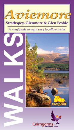
Aviemore
Strathspey, Glenmore & Glen Feshie
Price: £4.95
A map/guide to eight easy to follow walks
- Craigellachie Nature Reserve
- Aviemore - Boat of Garten
- Ryvoan Pass
- Loch Morlich from Glenmore
- Cairngorm Footbridge
- Loch an Eilein & Inverdruie
- Uath Lochan
- Glen Feshie
More info...
ISBN: 978-1-871149-73-9
Edition:2007
Scale:Various
Folded:119 x 210mm
Open:594 x 420mm
Weight:50gms
Hide info...
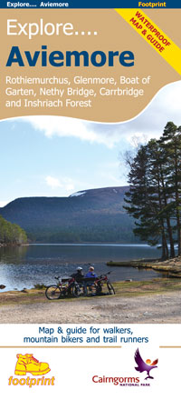
Explore Aviemore
Rothiemurchus, Glenmore, Boat of Garten and Inshriach Forest
Price: £9.95
This specially produced double sided waterproof map & guide shows all the paths, tracks and trails for anyone wanting to get outside and explore this popular part of the Cairngorms National Park. The map also shows lots of other useful information for when you're out and about; from where to get a bite to eat, to hiring or repairing your bike, way-marked trails and finding out where the steep hills are.
Use the main map to plan your own route or use the individual maps on side 2 to follow one of the suggested routes which have been carefully selected to take in some the best trails and views in the area.
More info...
ISBN: 978-1-871149-89-0
Edition:2014
Scale:1:35000
Folded:99 x 230mm
Open:693 x 460mm
Weight:78gms
Hide info...
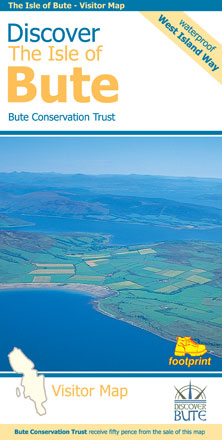
Discover the Isle of Bute
Including West Island Way
Price: £8.95
This map is the perfect companion to take exploring the island, it's packed with information on how to get to Bute, what to see or do - and where to go, once you're there.
The map features Scotland's first long-distance footpath, the 30-mile West Island Way, alongside popular shorter walks.
As you'll discover, Bute's treasures include Mount Stuart, St Blane's Church, Rothesay Castle and Scotland's finest toilets!
Bute Conservation Trust receive a donation from each map sold.
More info...
ISBN: 978-1-871149-82-1
Edition:2017
Scale:1:30000
Folded:120 x 230mm
Open:840 x 594mm
Weight:78gms
Hide info...
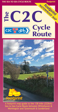
The C2C Cycle Route
Workington & Whitehaven to Tynemouth & Sunderland
Price: £10.95
The Sea to Sea is one of Britain's most popular long distance cycle routes, 138 miles (222km) across the north of England. Much of the route follows traffic-free trails and quiet rural roads.
This map is divided into 3 sections, each portrayed on a separate panel. The route is marked in miles in the map, starting in Whitehaven or Workington. Text describing the route accompanies each section.
More info...
ISBN: 978-1-871149-95-1
Edition:2018
Scale:1:90000
Folded:120 x 225mm
Open:
Weight:60gms
Hide info...
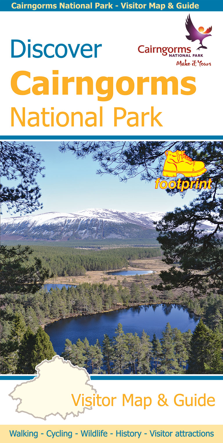
Discover Cairngorms National Park
Price: £8.95
Since it was created in 2003 the Cairngorms National Park has provided the ultimate destination for visitors in the UK wanting to experience a unique mixture of wilderness and cultural heritage. At the heart of the Park are the magnificent Cairngorm Mountains, with five of the UK's highest mountains and some of the most impressive corries, it truly is a walker's paradise.
This double sided map and guide is the perfect companion to take when exploring the Cairngorms National Park. It's packed with information on how to get there, what to see and do - and where to go, once you're there.
More info...
ISBN: 978-1-871149-88-3
Edition:2014
Scale:1:120000
Folded:120 x 235mm
Open:960 x 700mm
Weight:90gms
Hide info...
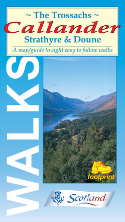
The Trossachs, Callander
Strathyre & Doune
Price: £4.95
A map/guide to eight easy to follow walks
- Callander Crags & Bracklinn Falls
- Callander to Strathyre
- Bracklinn Falls
- Glen Ample
- Strathyre - forest walk
- Balquhidder - Creag an Tuirc
- Doune - Castle & Ponds
- Loch Venachar
More info...
ISBN: 978-1-871149-20-3
Edition:2011
Scale:Various
Folded:119 x 210mm
Open:594 x 420mm
Weight:50gms
Hide info...
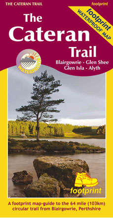
The Cateran Trail
Blairgowrie - Glen Shee - Glen Isla - Alyth
Price: £10.95
One of 'Scotland's Great Trails', the Cateran Trail is a fully waymarked, 64 mile (103km) route through the hills and glens of Pethshire and Angus.
More info...
ISBN: 978-1-9160029-0-6
Edition:2019
Scale:1:40000
Folded:120 x 225mm
Open:720 x 675mm
Weight:40gms
Hide info...
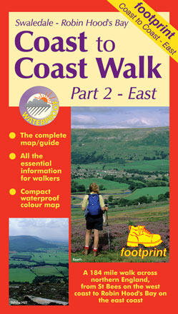
Coast to Coast Walk (East)
Swaledale to Robin Hood's Bay
Price: £8.95
One of two maps covering this 184 mile walk across northern England from St Bees on the west coast to Robin Hood's Bay on the east coast. This eastern sheet covers the route from Swaledale to Robin Hood's Bay.
Devised by A. Wainwright, the route now follows most of his original itinerary.
More info...
ISBN: 978-1-871149-64-7
Edition:2017
Scale:1:50000
Folded:119 x 210mm
Open:594 x 420mm
Weight:52gms
Hide info...
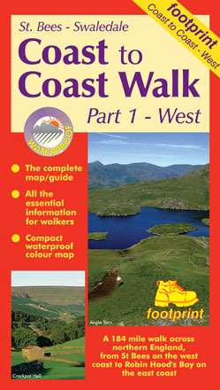
Coast to Coast Walk (West)
St Bees to Swaledale
Price: £8.95
One of two maps covering this 184 mile walk across northern England from St Bees on the west coast to Robin Hood's Bay on the east coast. This western sheet covers the route from St Bees to Swaledale.
Devised by A. Wainwright, the route now follows most of his original itinerary.
More info...
ISBN: 978-1-871149-63-0
Edition:2015
Scale:1:50000
Folded:119 x 210mm
Open:594 x 420mm
Weight:52gms
Hide info...
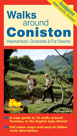
Coniston
Hawkshead, Grizedale & Far Sawrey
Price: £4.95
A map-guide to 16 walks around Coniston, in the English Lake District
- Guards Wood
- Coniston Coppermines
- Coniston Old Man, Swirl How & Wetherlam
- Goats Water & Dow Crag
- Coniston to Carron Crag
- Holme Fell
- Coniston to Torver
- Natty Bridge
- Beacon Tarn
- High Dam
- Grizedale Forest
- Hawkshead Moor
- Claife Heights
- Latterbarrow from Hawkshead
- Tarn Hows
- Tilberthwaite & Little Langdale
More info...
ISBN: 978-1-871149-59-3
Edition:2014
Scale:Various
Folded:119 x 210mm
Open:594 x 420mm
Weight:52gms
Hide info...
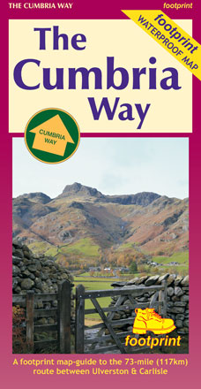
The Cumbria Way
Ulverston to Carlisle
Price: £10.95
The Cumbria Way is a 73-mile (117kilometre) trail through some of the English Lake District's finest scenery. Generally, it follows well-maintained paths and tracks between Ulverston and Carlisle.
This Footprint Map is divided into five sections, each portrayed on a separate map panel. The route is marked in miles, starting in Ulverston and text describing the route accompanies each section.
More info...
ISBN: 978-1-871149-87-6
Edition:2014
Scale:1:40000
Folded:120 x 225mm
Open:720 x 450mm
Weight:60gms
Hide info...
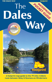
The Dales Way
Ilkley to Bowness-on-Windermere
Price: £8.95
The Dales Way is a 79 mile (127km) long distance trail in the north of England, running between Ilkley, in North Yorkshire and Bowness-on-Windermere, in Cumbria. Much of the route passes through the Yorkshire Dales and Lake District National Parks. Starting out in Ilkley, the route runs along Wharfedale, passing the impressive ruins of Bolton Priory and the attractive market town of Grassington. It continues along the River Wharfe through dramatic limestone scenery before it crosses The Pennines to reach Dentdale and Sedbergh. It then skirts the Howgill Fells and crosses the M6 motorway to finish overlooking Lake Windermere.
This map-guide is laid out for walkers travelling from Ilkley to Bowness, although walkers travelling in the opposite direction should find it equally useful. Each panel includes a detailed route map, route profile and helpful notes on navigation.
There are link routes from Bradford, Leeds and Harrogate to the start of the route at Ilkley.
Download free link route map (12.8 MB)
More info...
ISBN: 978-1-9160029-3-7
Edition:2019
Scale:1:40000
Folded:150 x 99mm
Open:594 x 420mm
Weight:0gms
Hide info...
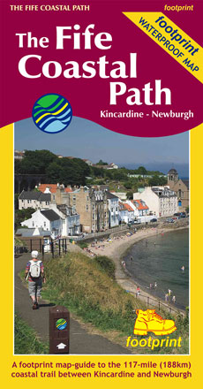
The Fife Coastal Path
Kincardine Bridge to Newburgh
Price: £10.95
High quality, specially created strip map of this unique 116 mile coastal path from the Kincardine Bridge to Newburgh on the Firth of Tay.
For every copy of this map sold, a donation goes towards the practical management of the Fife Costal Path.
More info...
ISBN: 978-1-871149-99-9
Edition:2019
Scale:1:40000
Folded:120 x 225mm
Open:450 x 840mm
Weight:64gms
Hide info...
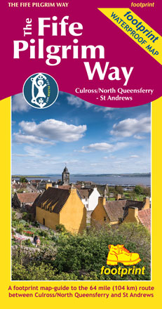
The Fife Pilgrim Way
Culross/North Queensferry to St Andrews
Price: £10.95
A footprint map-guide to the 64 mile (104 km) route between Culross/North Queensferry and St Andrews
More info...
ISBN: 978-1-9160029-1-3
Edition:2019
Scale:1:40000
Folded:225 x 120mm
Open:720 x 450mm
Weight:0gms
Hide info...
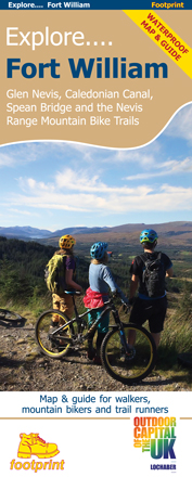
Explore Fort William
Glen Nevis, Caledonian Canal, Spean Bridge and the Nevis Range Mountain Bike Trails
Price: £9.95
This specially produced map & guide shows all the paths, tracks and trails in this popular part of Western Scotland, rightly called The Outdoor Capital of the UK. The map also includes lots of other useful information for when you're out and about; from where to get a bite to eat to hiring or fixing your bike.
Use the main map to plan your own route or use the individual maps overleaf to follow one of the suggested routes which have been carefully selected to take in some the best trails and views in the area.
Side 1: an overview map of Glen Nevis, Caledonian Canal, Spean Bridge & Nevis range
Side 2: nine specially surveyed routes for walkers, mountain bikers and trail runners. Each route is shown on its own map and is accompanied by detailed navigation notes.
More info...
ISBN: 978-1-9160029-2-0
Edition:2019
Scale:1:35000
Folded:230 x 99mm
Open:693 x 460mm
Weight:0gms
Hide info...
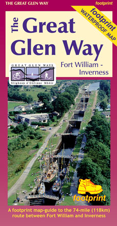
The Great Glen Way
Fort William to Inverness
Price: £10.95
The complete map/guide of both routes between Fort William and Inverness.
Also contains compact and concise practical information for walkers.
For every copy of this map sold, a donation goes towards the practical management of the Great Glen Way.
More info...
ISBN: 978-1-871149-94-4
Edition:2017
Scale:1:40000
Folded:120 x 225mm
Open:720 x 450mm
Weight:60gms
Hide info...
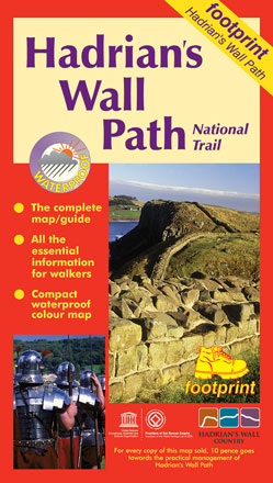
Hadrian's Wall Path
National Trail: Bowness-on-Solway to Wallsend
Price: £8.95
Hadrian's Wall Path - this popular long-distance route runs for 86 miles between Bowness-on-Solway on the Cumbrian coast, and Wallsend on Tyneside. It passes through some of England's most striking landscapes as it follows the line of the old Roman frontier wall for much of the way.
The map is divided into eight sections, each displayed on a separate panel, and folds easily to show a particular part of the path.
For every copy of this map sold, a donation goes towards the practical management of Hadrian's Wall Path
More info...
ISBN: 978-1-871149-80-7
Edition:2014
Scale:1:40000
Folded:119 x 210mm
Open:594 x 420mm
Weight:52gms
Hide info...
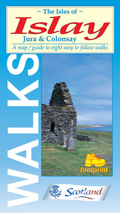
The Isles of Islay
Jura & Colonsay
Price: £4.95
A map/guide to eight easy to follow walks
- Finlaggan, Islay
- Ardnave Point, Islay
- Portnahaven, Islay
- Kintra, Islay
- Port Charlotte, Islay
- An Dùnan, Jura
- Kells Township, Jura
- Kiloran Bay, Colonsay
More info...
ISBN: 978-1-871149-38-8
Edition:2015
Scale:Various
Folded:119 x 210mm
Open:594 x 420mm
Weight:50gms
Hide info...
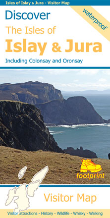
Discover the Isles of Islay & Jura
Including Colonsay and Oronsay
Price: £8.95
A visitors map of two spectacularly different islands. Islay, known as the Queen of the Hebrides, is populous, fertile and hilly. Famed for the numerous whisky distilleries, the island also boasts beautiful beaches and coves, picturesque villages, numerous ancient ruins and a wide variety of wildlife.
Separated by only a narrow channel, the island of Jura could not be a greater contrast. A single, narrow road linking the small settlements runs past stunning mountain scenery - wild, rocky and remote, this is un-tamed Scotland at it's very best.
More info...
ISBN: 978-1-871149-96-8
Edition:2018
Scale:1:90000
Folded:120 x 235mm
Open:
Weight:60gms
Hide info...
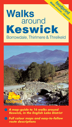
Keswick
Borrowdale, Thirlmere & Threlkeld
Price: £4.95
A map-guide to 16 walks around Keswick, in the English Lake District
- Keswick, Friar's Crag & Castle Head
- Keswick to Latrigg Fell
- Keswick, Walla Crag & Ashness Bridge
- Castlerigg Stone Circle
- The Bowder Stone, Troutdale & Grange
- Rosthwaite & Castle Crag
- Rosthwaite & Dock Tarn via Watendlath
- Cat Bells & Brandelhow
- Harrop Tarn from Thirlmere
- Around Thirlmere from The Swirls
- Sprinkling Tarn & Styhead Tarn
- Threlkeld to Glenderaterra
- Portinscale & Swinside
- Newlands Valley from Hawse End
- Skiddaw from Latrigg Car Park
- High Seat & Bleaberry Fell
More info...
ISBN: 978-1-871149-57-9
Edition:2004
Scale:Various
Folded:119 x 210mm
Open:594 x 420mm
Weight:52gms
Hide info...
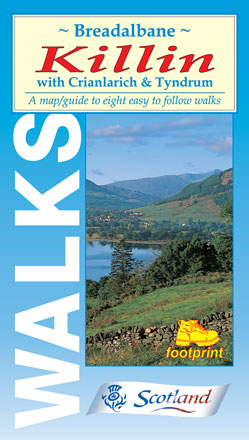
Breadalbane, Killin
with Crianlarich & Tyndrum
Price: £4.95
A map/guide to eight easy to follow walks
- Ben Lawers Nature Trail
- Killin - old railway walk
- Killin - Achmore Wood
- Killin - Creag Bhuidhe
- Kirkton Glen
- Crianlarich to Tyndrum
- Tyndrum to Bridge of Orchy
- The Glen Ogle Trail
More info...
ISBN: 978-1-871149-21-0
Edition:2007
Scale:Various
Folded:119 x 210mm
Open:594 x 420mm
Weight:50gms
Hide info...
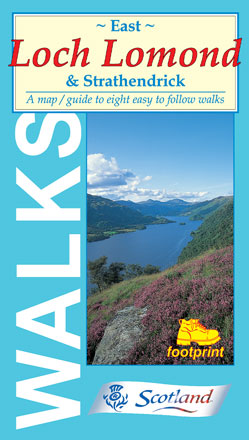
East Loch Lomond
& Strathendrick
Price: £4.95
A map/guide to eight easy to follow walks
- Gartocharn to Shore Wood
- Drymen & Buchanan Castle
- Conin Hill from Balmaha
- Balmaha Forest Walks
- Inchcailloch from Balmaha
- Craigie Fort to Milarrochy
- Sallochy to Rowardennan
- Rowardennan to Inversnaid
More info...
ISBN: 978-1-871149-16-6
Edition:2006
Scale:Various
Folded:119 x 210mm
Open:594 x 420mm
Weight:50gms
Hide info...
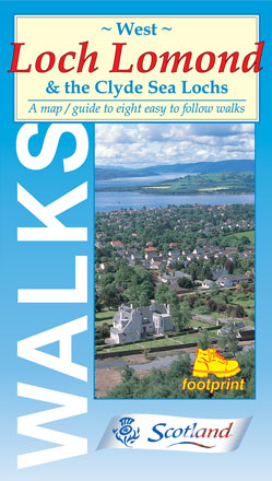
West Loch Lomond
& the Clyde Sea Lochs
Price: £4.95
A map/guide to eight easy to follow walks
- Balloch Castle Country Park
- Stoneymollan Trail
- Helensburgh Upland Way
- Rosneath Point
- Firkin Point, Loch Lomond
- Cruach Tairbeirt Walks
- Ardgartan Riverside Walk
- Inverarnan to Loch Lomond
More info...
ISBN: 978-1-871149-15-9
Edition:2010
Scale:Various
Folded:119 x 210mm
Open:594 x 420mm
Weight:50gms
Hide info...
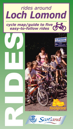
Rides around Loch Lomond
Price: £4.95
Cycle map/guide to five easy-to-follow rides
- Balloch Country Park
- Balloch - Luss
- Balloch - Dumbarton Castle
- Balloch - Helensburgh
- Balloch - Drymen
More info...
ISBN: 978-1-871149-71-5
Edition:2005
Scale:1:50000
Folded:119 x 210mm
Open:594 x 420mm
Weight:50gms
Hide info...
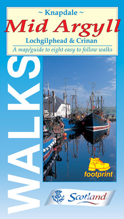
Knapdale, Mid Argyll
Lochgilphead & Crinan
Price: £4.95
A map/guide to eight easy to follow walks
- Kilmory Woodland Park
- Ardcastle Wood
- Mòine Mhòr - 'The Great Moss'
- Ardrishaig - The 39 Steps
- Crinan Canal towpath
- Arichonan Township
- Crinan Forest Walk
- Kilmartin Glen
More info...
ISBN: 978-1-871149-31-9
Edition:2009
Scale:Various
Folded:119 x 210mm
Open:594 x 420mm
Weight:50gms
Hide info...
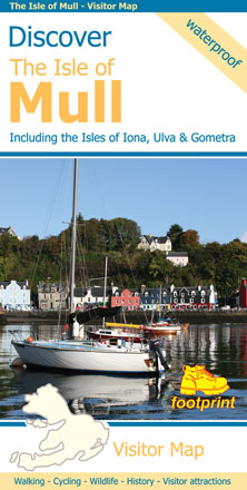
Discover the Isle of Mull
Including the Isles of Iona, Ulva & Gometra
Price: £8.95
This map is the perfect companion to take exploring on the Isle of Mull; it's packed with information on how to get there; and what to see and do - and where to go, once you're there. The map features walking and cycling routes, wildlife and visitor attractions and where to eat, sleep and shop. As you'll discover, Mull's treasures include secluded beaches, wild mountains, magnificent eagles and historic castles.
More info...
ISBN: 978-1-871149-85-2
Edition:2014
Scale:1:65000
Folded:120 x 235mm
Open:850 x 670mm
Weight:75gms
Hide info...
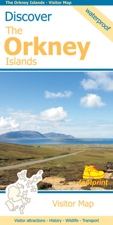
Discover the Orkney Islands
Price: £8.95
A group of islands close to the north coast of Scotland, Orkney has a visible history spanning more than 5500 years. From the world’s best preserved Neolithic settlement at Skara Brae, through numerous Bronze Age stone circles and burial mounds, Iron Age brochs, Medieval churches and cathedrals, to the remains from more recent events during two World Wars, there is almost too much to see.
The scenery is outstanding. A wild coastline (the Old Man of Hoy is one one islands most iconic images) is backed by a surprisingly rich and fertile countryside. From Mainland (the largest and most populated island) ferries run regular services to a further twelve islands (and three more can be reached by causeway). Wildlife is abundant, particularly sea birds and mammals such as seals, dolphins and whales. Most of the islands are low lying with good road networks, making exploring by car, bicycle or foot easy.
More info...
ISBN: 978-1-871149-91-3
Edition:2019
Scale:1:100000
Folded:235 x 120mm
Open:960 x 660mm
Weight:78gms
Hide info...
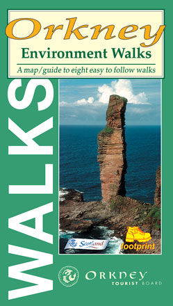
Orkney
Environment Walks
Price: £4.95
Created in association with Orkney Tourist Board, each sheet comprise individual maps for 8 simple and easy to follow walks on the Orkney Islands.
- Hoy & Rackwick
- Marwick Head
- West Westray
- Backaskaill Bay
- Faraclett Head
- Mull Head, Deerness
- Sands of Wright
- Wideford
More info...
ISBN: 978-1-871149-56-2
Edition:2003
Scale:Various
Folded:119 x 210mm
Open:594 x 420mm
Weight:50gms
Hide info...
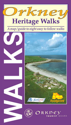
Orkney
Heritage Walks
Price: £4.95
Created in association with Orkney Tourist Board, each sheet comprise individual maps for 8 simple and easy to follow walks on the Orkney Islands.
- Warbeth to Stromness
- Swartland Drove Road
- Binscarth Woods
- Hoxa Head
- Westness Heritage Walk
- Tuquoy
- Eday Heritage Walk
- Odin Bay
More info...
ISBN: 978-1-871149-55-5
Edition:2003
Scale:Various
Folded:119 x 210mm
Open:594 x 420mm
Weight:50gms
Hide info...
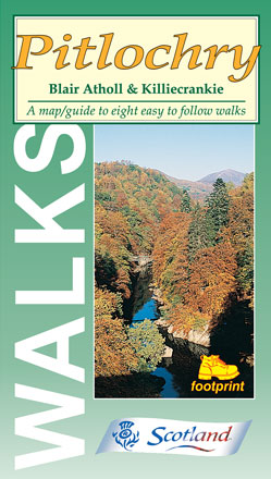
Pitlochry
Blair Atholl & Killiecrankie
Price: £4.95
A map/guide to eight easy to follow walks
- Black Spour Wood & Moulin
- Pitlochry & Loch Faskally
- Craigower Hill
- Linn of Tummel
- Pass of Killiecrankie
- Allean Forest & Queen's View
- Glen Tilt & Blair Castle
- Falls of Bruar
More info...
ISBN: 978-1-871149-77-7
Edition:2011
Scale:Various
Folded:119 x 210mm
Open:594 x 420mm
Weight:50gms
Hide info...
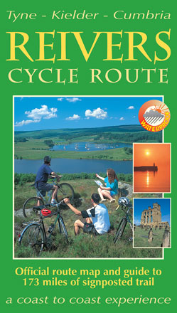
The Reivers Cycle Route
Tyne, Kielder, Cumbria
Price: £8.95
This challenging cycle route runs for 173 miles from Tynemouth on the North Sea Coast, crossing Northumberland and Cumbria to finish in Whitehaven on the Irish Sea Coast.
More info...
ISBN: 978-1-871149-32-6
Edition:2003
Scale:1:100000
Folded:119 x 210mm
Open:594 x 420mm
Weight:52gms
Hide info...
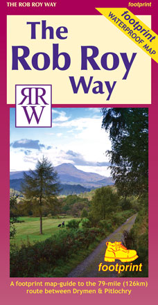
The Rob Roy Way
Drymen to Pitlochry
Price: £10.95
The Rob Roy Way is one of Scotland's 'Great Trails' and runs for nearly 80 miles between Drymen, near Loch Lomond north of Glasgow, and Pitlochry at the heart of Highland Perthshire. As it traverses the country, it passes many places associated with the eighteenth century outlaw Rob Roy Macgregor.
This Footprint map is divided into 11 sections each portrayed on a separate panel. It is marked in miles, starting in Drymen. Text describing the route accompanies each section.
More info...
ISBN: 978-1-871149-84-5
Edition:2013
Scale:1:40000
Folded:120 x 225mm
Open:840 x 420mm
Weight:65gms
Hide info...
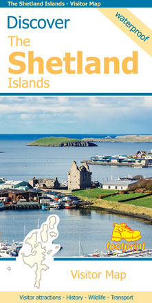
Discover the Shetland Islands
Price: £8.95
This map is the perfect companion to take for exploring the Shetland Islands. It is packed with lots of information on where to find the best that this group of islands has to offer visitors.
There is a wide range of wild landscapes: from magnificent coastlines with some of the finest beaches in Europe, to huge sea cliffs framing areas of windswept moorland.
There are also many important historic sites to visit, some of which are world famous spanning the long human occupation of the islands.
More info...
ISBN: 978-1-871149-92-0
Edition:2019
Scale:1:120000
Folded:235 x 120mm
Open:960 x 660mm
Weight:78gms
Hide info...
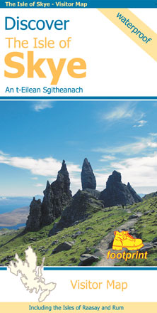
Discover the Isle of Skye
An t-Eilean Sgitheanach
Price: £8.95
The largest of the Inner Hebrides, Skye is far more than it's justifiably famous mountain scenery. Traces of the past, from dinosaur footprints to ruined castles, are scattered amongst the rugged landscape. Wildlife abounds, otters fish along rocky shores whilst sea eagles patrol the skies above. Add to this a selection of cafes and restaurants serving some of Scotland's cuisine and you have a place guaranteed to make any visit memorable.
More info...
ISBN: 978-1-871149-90-6
Edition:2017
Scale:1:110000
Folded:120 x 235mm
Open:960 x 670mm
Weight:65gms
Hide info...
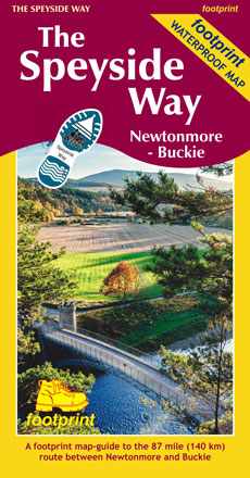
The Speyside Way
Newtonmore - Buckie
Price: £10.95
The Speyside Way is one of 'Scotland's Great Trails'. It runs between Newtonmore, in the heart of Strathspey, 87 miles to Buckie, on the Moray Firth. The route passes through some of Scotland's most beautiful landscapes.
More info...
ISBN: 978-1-871149-97-5
Edition:2019
Scale:1:40000
Folded:120 x 225mm
Open:720 x 450mm
Weight:40gms
Hide info...
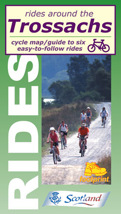
Rides around the Trossachs
Price: £4.95
Cycle map/guide to six easy-to-follow rides, ideal for exploring forest tracks and off-road trails in this popular part of the new National Park.
- Callander - Strathyre
- Strathyre - Killin
- Achray Forest
- Loch Katrine
- Loch Ard
- Callander - Brig o'Turk
More info...
ISBN: 978-1-871149-53-1
Edition:2014
Scale:1:50000
Folded:119 x 210mm
Open:594 x 420mm
Weight:50gms
Hide info...
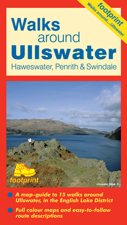
Ullswater
Haweswater, Penrith & Swindale
Price: £4.95
A map-guide to 15 walks around Ullswater, in the English Lake District
- Hartsop to Angle Tarn
- Around Brothers Water
- Glenridding to Lanty's Tarn
- Glencoyne & Sheffield Pike
- Aira Force & Gowbarrow Fell
- Hallin Fell from Howtown
- Pooley Bridge to Glenridding
- Askham, Heughscar Hill and Helton
- Askham and Lowther Park
- Haweswater from Burnbanks
- Mardale Head to Small Water & Harter Fell
- Swindale
- Wet Sleddale
- Rosgill to Shap Abbey
- King's Meaburn
More info...
ISBN: 978-1-871149-60-9
Edition:2016
Scale:Various
Folded:119 x 210mm
Open:594 x 420mm
Weight:52gms
Hide info...
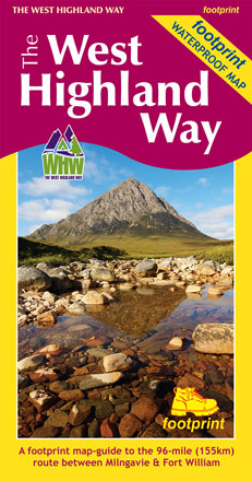
The West Highland Way
Milngavie to Fort William.
Price: £10.95
The West Highland Way waterproof map from Footprint is a map-guide to the 95 mile (153km) route between Milngavie and Fort William.
For every copy of this map sold, a donation goes towards the practical management of the West Highland Way.
More info...
ISBN: 978-1-871149-93-7
Edition:2017
Scale:1:40000
Folded:120 x 225mm
Open:840 x 450mm
Weight:60gms
Hide info...
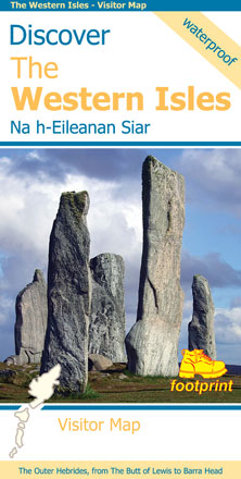
Discover the Western Isles
Na h-Eileanan Siar
Price: £8.95
This map is the perfect companion to take for exploring the Western Isles. It is packed with information on where to find the best that this chain of islands has to offer visitors.
Each island has its own unique identity and there is a wide range of contrasting wild landscapes: from magnificent coastlines with some of the finest beaches in Europe, to high rocky mountains rising from windswept moorland.
There are also many important historic sites to visit, some of which are world famous, spanning the long human occupation of these islands.
More info...
ISBN: 978-1-871149-86-9
Edition:2015
Scale:1:140000
Folded:120 x 235mm
Open:840 x 594mm
Weight:65gms
Hide info...
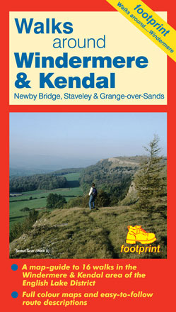
Windermere & Kendal
Newby Bridge, Staveley & Grange-over-Sands
Price: £4.95
A map-guide to 16 walks in the Windermere & Kendal area of the English Lake District
- Windermere to Orrest Head
- The Lake Shore and Brant Fell
- Bowness to Hill Top via the ferry
- Bowness to Waterhead returning by the ferry
- Staveley to Potter Tarn
- Kentmere Reservoir
- Longsleddale to Green Quarter
- Scout Scar
- Kendal to Cunswick Scar
- Levens Park
- Whitbarrow Scar
- Grange-over-Sands to Hampsfell
- Cartmel
- Bigland Tarn & Backbarrow
- Chapel House Wood
- Gummer's How
More info...
ISBN: 978-1-871149-69-2
Edition:2014
Scale:Various
Folded:119 x 210mm
Open:594 x 420mm
Weight:52gms
Hide info...